Brymbo Steelworks


Grid reference: SJ293538
Co-ordinates: 329350, 353820
Bearing: SE
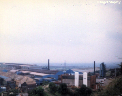
Brymbo Steelworks, July 1982. This was taken during the annual maintenance shutdown, hence the lack of smoke or dust.
Taken from the top of The Rocks, looking South-East.


Grid reference: SJ295535
Co-ordinates: 329538, 353540
Bearing: NNE
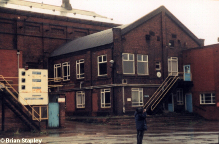
Steelworks Top Office, taken at the end of 1994, just over four years after the closure of the works.
It just shows you how the authorities dragged their feet so abysmally on the issue of redeveloping the site.


Grid reference: SJ294531
Co-ordinates: 329420, 353135
Bearing: ESE
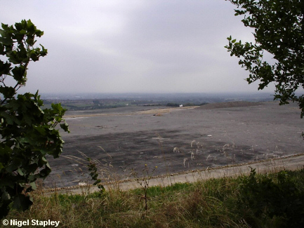
Depressing, I call it.
There was a profitable steelworks here. Then a bunch of corporate pirates bought the place up and deliberately ran it into the ground so as to transfer production to Yorkshire.
Fifteen years on, this is as far as they'd got with redeveloping the site. Hell, they didn't even get this far until a few months before I took this photograph!
And what has gone here so far? Well, houses of course. Nothing that'll create jobs to make up for the thousand or more we lost in 1990. Housing is where the profit lies, especially the type of housing which attracts those from outside the area with speculative eyes bigger than their fiscal bellies.
The new estate may well ultimately draw crucial resources away from the existing village, as this 'prestigious project' will not be allowed to be sub-standard in any way. For the time being, however, all there are are houses and flats (sorry, 'apartments'); there are no facilities of any kind.
They call it progress...
© Brian Stapley & Nigel Stapley


